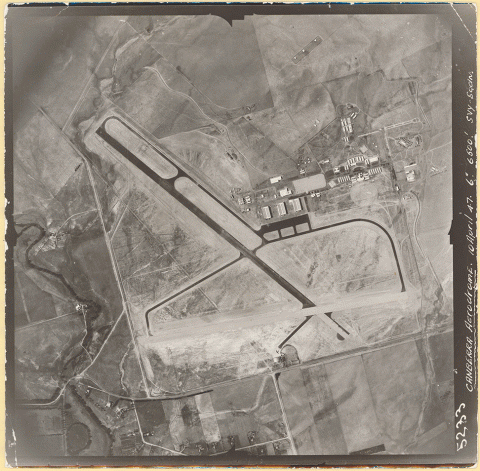
Canberra aerodrome, Commonwealth of Australia, 1947, National Library of Australia, MAP Aerial Photograph Collection I 55 16 451.
Historic aerial photography allows researchers to view a landscape, town or even a building from the air, as it was at a particular point in time. The Library holds a national series of imagery of Australia, collected between 1928 and 1988. All Australian States and major regions are represented in the collection, although the degree of representation is variable.
The collection supports a wide range of activities, including land and water management, ecology, archaeology, and military research.
The Library also holds national series of aerial photography of Papua New Guinea and East Timor, and a large collection covering Antarctica. This guide aims to assist readers wanting to access aerial photography of Australia. To access the PNG, East Timor or Antarctic collections, please contact us using Ask a Librarian.
Searching the Library’s collection
To find aerial photography of major regional towns and airfields, a simple search of the catalogue using the place name as a search term will identify all the aerial photography the Library holds. See Major towns and airfields.
However, if you are seeking aerial photography of an area that is not a major locality, you will need to identify the topographic sheet number within a grid. See Smaller towns, places and sites.

Canberra aerodrome, Commonwealth of Australia, 1947, National Library of Australia, MAP Aerial Photograph Collection I 55 16 451.